St. Tornberget in Stockholms County
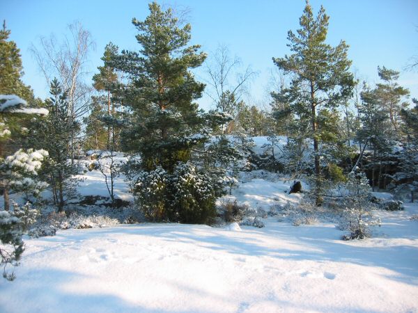
View of St Tornberget from the south.
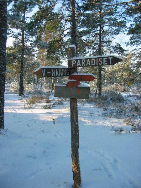
Trail intersection at St Tornberget. The red (orange) arrows shows the direction of SŲrmlandsleden.
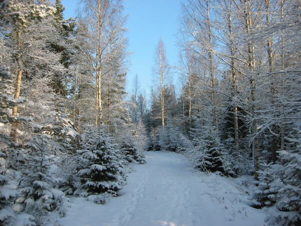
The white/green trail merges from the west, where foot prints can be seen in the snow.
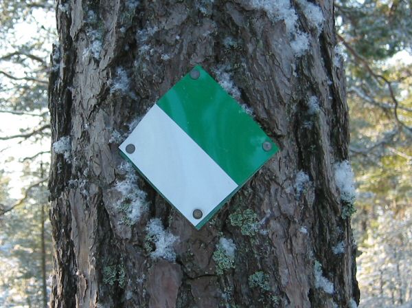
The white and green trail markers.
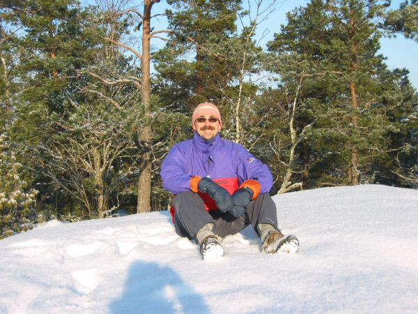
Vice webmaster is resting in the snow on St Tornberget, January 2005.
The small dirt road heading from the parking location to the trail head.
webmaster@sverigestak.org Last modified: Thu Feb 10 21:50:23 W. Europe Standard Time 2005