Svinhöjden in Örebro County

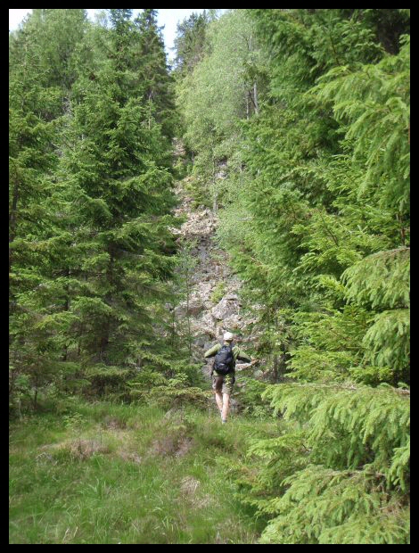
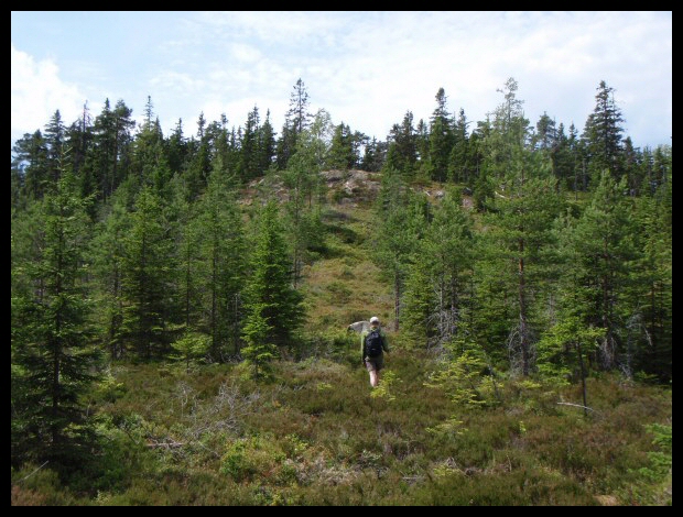
We have parked the car on a dirt road below Svinhöjden and are preparing to hike across the clear-cut. We had a compass, and took a bearing. This was not a good choice of route, it would have been better to follow the northern edge of the clear-cut, where it was much easier to walk. (We hiked down here.) The highpoint is located a couple of hundred meters in the woods, at the top of the hill.

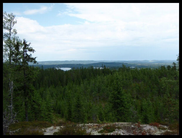
This is the view from where we parked the car. Woods, woods, and more woods. This is really out in the boonies, coming from the north, as we did, we had to drive gravel roads for 45 km to get here from Grängesberg.

On the summit there shall be a triangel marker and several other markers made by Lantmäteriet (the Swedish topographical institute). Now, the summit is completely covered by thick, green moss, and what was once a small shed. We searched a while for the triangle marker, but couldn't find it. We found a 'T' marker though, well hidden in the moss. We where in the correct location....
webmaster@sverigestak.org Last modified: Fri Nov 28 21:47:22 Eastern Standard Time 2003