Topo map - TimmerÕsarna
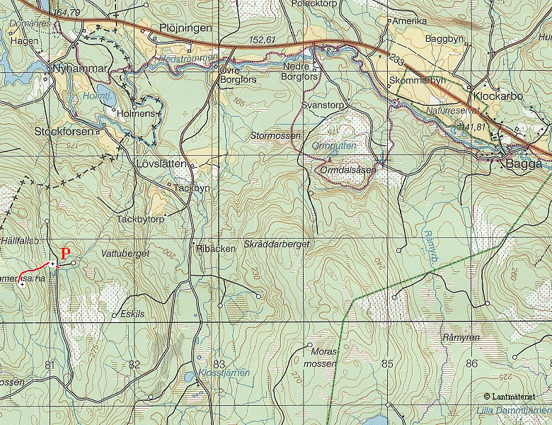
This is a small piece of the topo 11F NO Lindesberg. Park at the red 'P'. The red trail in the map is our approach route, as recorded by our gps. We followed the blue blazes we found close to where we parked the car. (The blazes are probably markers made by hunters, to make it easier for them to find their look out spots.)
webmaster@sverigestak.org Last modified: Fri Nov 28 21:46:12 Eastern Standard Time 2003