Topo map - Tomtabacken
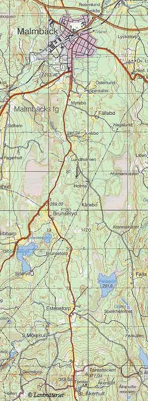
The highpoint, Tomtabacken, is marked with a triangle in the lower part of the map.
webmaster@sverigestak.org Last modified: Mon Dec 29 20:49:07 Eastern Standard Time 2003
The highpoint, Tomtabacken, is marked with a triangle in the lower part of the map.