Topo map - Granberget
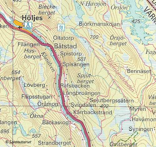
The highpoint of V‰rmland is Granberget. Its summit is along the unknown trial V‰rmlandsleden - the hiking trail, not the bike trail
webmaster@sverigestak.org Last modified: Sat May 22 09:46:46 Eastern Daylight Time 2004