Topo map - Storvätteshĺgna

The red trail is blazed and leads to the summit of Storvätteshĺgna in Dalecarlia.
Road map - Storvätteshĺgna
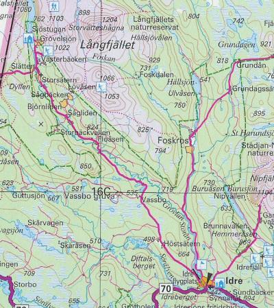
The highpoint of Dalecarlia, Storvätteshĺgna, is in the upper part of the map.
webmaster@sverigestak.org Last modified: Sun Oct 09 15:52:33 W. Europe Daylight Time 2005