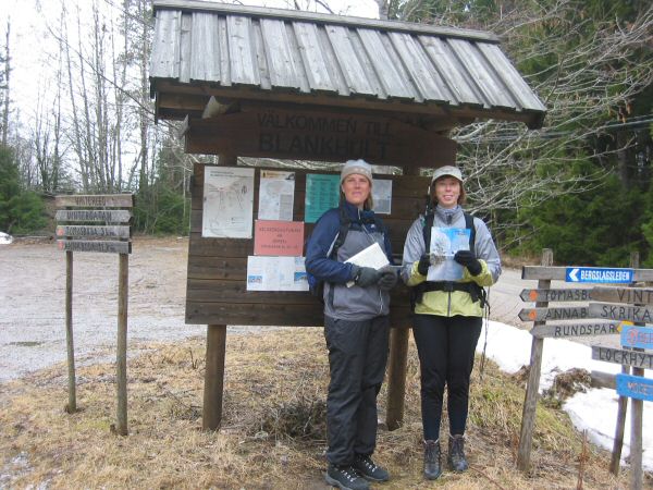
Tomasbodahöjden in Närke
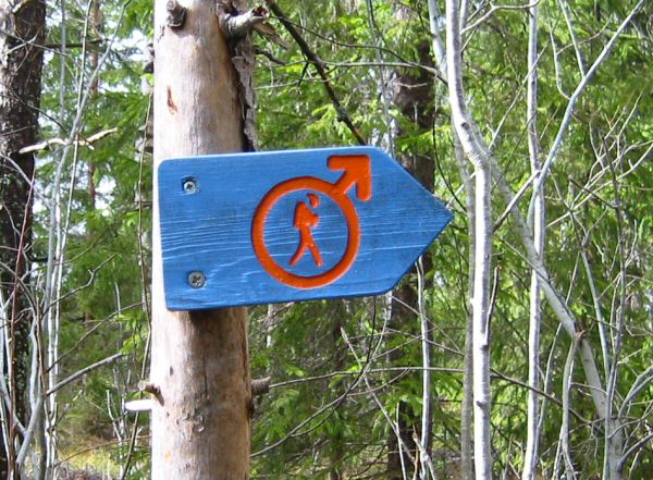
The Bergslag's Trail is marked with orange blazes on trees and poles. There are also signs at intersections.
Coffee is served at the Kilsberg Hut every Sunday during skiing season. The hut is managed by a Scout association that is part of the non-drinking movement. They arrange a lot of activities year around. Very pleasant area.
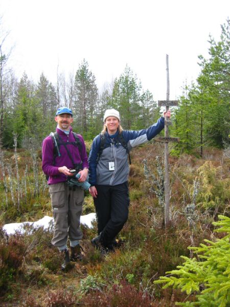
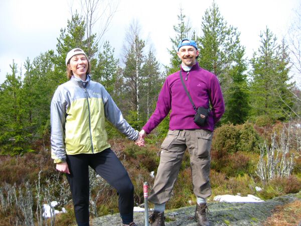
Summiting the Tomasbodahöjden, 298 m.
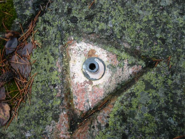
The Geographical Survey's marker at the highpoint, a triangle mark.
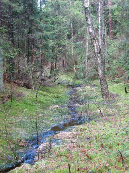
Just waiting to see a gnome appear.
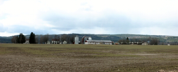
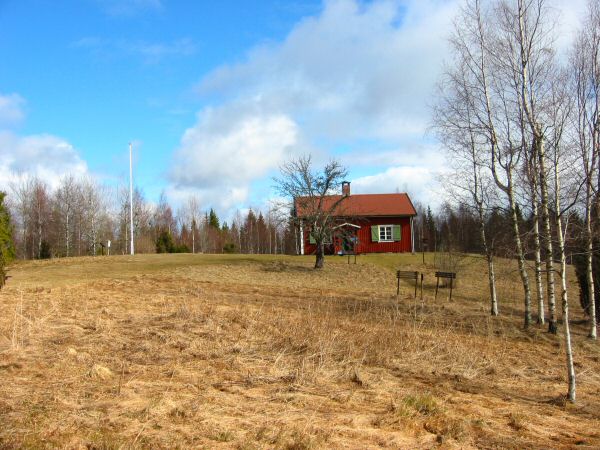
A view of the Kilsberg's Ridge from the farmlands below.
webmaster@sverigestak.org Last modified: Mon Jun 06 10:40:41 W. Europe Daylight Time 2005