Provinces
Counties
Blekinge
Dalarna
Gotland
Halland
Jönköping
Kalmar
Kronoberg
Norrbotten
Skåne
Stockholm
Södermanland
Uppsala
Värmland
Västmanland
Västra Götaland
Örebro
Östergötland
Other stuff
Home
| Östergötland: Stenabo - 328 m | |
|---|---|
|
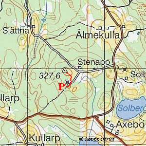
Location: South of Österbymo Coordinates: N 57°46.093' E 15°14.523' Exact height: 328 m Hiking: Class 1 (What's this?) Hiking distance: 0.5 km round trip Elevation gain: < 10 m Maps: Topographic: 7F SV Tranås Road map: Any road map All maps from Lantmäteriet |
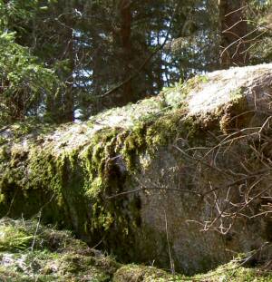
 Click in the picture to see more pictures. |
Approach:
Alternative 1, from RydsnäsRoute: Start hiking at the radio tower and walk towards the meadow. Continue in the direction of some birches at the edge of the woods. Walk around a point of rocks that enters the meadow and hike straight to the highpoint in the woods. A fallen down tree house is close to the summit and a triangle marker shows where the highpoint is. There is a pipe with a note that locates the marker. |
|
 Click in the map to get a larger map!! |
|