
Provinces
Blekinge
Bohuslðn
Dalarna
Dalsland
Gotland
Halland
Lappland
Nðrke
SkÍne
SmÍland
S—dermanland
Uppland
Vðrmland
Vðsterg—tland
Vðstmanland
øland
østerg—tland
Counties
Other stuff
Home
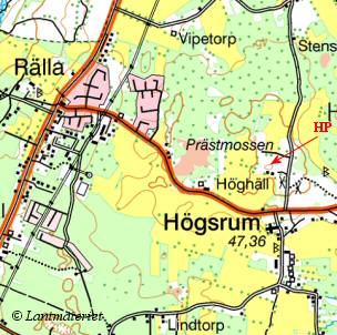
| øland: R—ssl—sa - 58 m | |
|---|---|
|
Location: SE of M—rbylÍngs Coordinates: N 56°29.799' E 16°25.333' Exact height: 58 m Hiking: Class 1 (What's this?) Hiking distance: 2.0 km round trip Elevation gain: 25 m Maps: Topographic: 4G SO Road map: Road atlas for øland All maps from Lantmðteriet |
We haven't been to R—ssl—sa sofar. We are happy and thankful receivers, should anyone want to submit information. |
Approach:
Drive from central M—rbylÍnga to Rt 136 and continue south to Bredinge. It is about 6.5 km. Turn right, west, in Bredinge and then right, north, after 250 m. Continue 1 km and turn right again. Park after about 1 km on this road, just north of R—ssl—sa.Route: The highpoint of øland is somewhere on the ridge about 350 m east of the road. The summit is not marked in the map so a GPS would help to find the right spot. An educated guess is that the highpoint is at the ancient castle, BÍrbyborg, about 1 km north of the suggested parking, on the northen part of the ridge. |
|
|
|